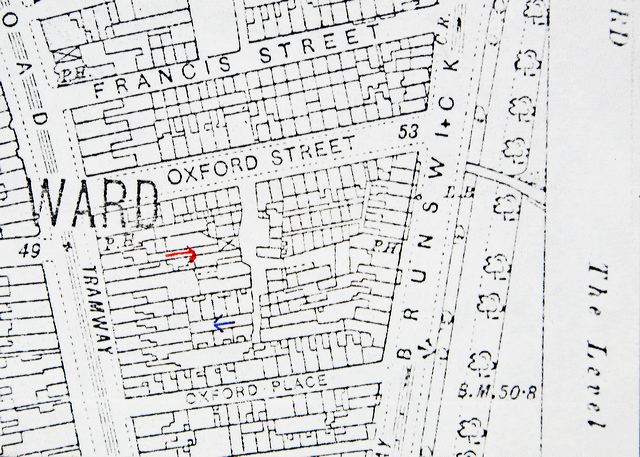
Ordnance map showing the area between Francis Street and Brunswick Row.
Image Reference: JG_10a_055a.tif
Date: 1911
Image Details: Copy
Size of Original: 85x60
Place: Brighton
Additional Information: No comment
This image is copyright and is made available for personal study only. Commercial reproduction in any media is prohibited without written authorisation.
High resolution images for commercial use are available. Please contact The Regency Society